Veronica Andreo
Researcher and Lecturer
Instituto Gulich
Consejo Nacional de Investigaciones Cientificas y Tecnicas (CONICET)
Biography
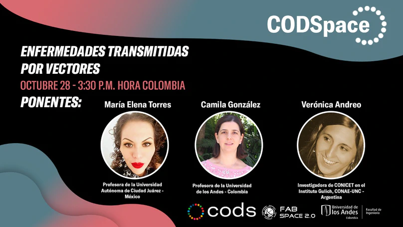
I am a biologist and I hold a PhD in Biological Sciences and an MSc in Remote Sensing and GIS applications. I work as a researcher for CONICET at Gulich Institute - Argentinian Space Agency (CONAE) in Córdoba, Argentina. My research is focused on uncovering the environmental drivers of vector-borne disease outbreaks. I am mostly interested in features that can be derived by means of satellite image analysis, remote sensing time series and GIS-based techniques.
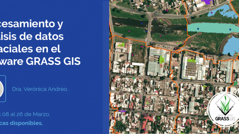
I am part of the GRASS GIS Development team and I serve as PSC chair since 2021. I am a strong advocate for OSGeo and free and open source software for geo-spatial (FOSS4G). I teach GRASS GIS courses and workshops regularly. Among other things, I have served as Program Committee chair for FOSS4G 2021 and volunteered as a mentor for GRASS GIS in Google Code-In and Google Summer of Code. In 2024, I was a visiting scholar at the Center for Geospatial Analytics (NCSU) within an NSF funded project to bolster and broaden the software ecosystem of GRASS GIS.
- Remote sensing time series
- Image analysis
- GIS
- SDM
- Vector-borne diseases
- Free and Open Source Software
-
PhD in Biological Sciences, 2012
National University of Río Cuarto
-
MSc in Spatial Applications for Early Warning and Response to Emergencies, 2015
National University of Córdoba
-
Biologist (5-year course of studies), 2005
National University of Río Cuarto
Skills
Recent Publications
Experience
Responsibilities include:
- Research and securing funding
- Supervision of MSc and PhD students
- Teaching
Responsibilities include:
- Research on the environmental drivers of vector-borne diseases
- Supervision of MSc and PhD students
- Teaching
Responsibilities include:
- Research in image analysis for Health Geography
- Supervision of MSc and PhD students
Recent Posts
Contact
- veronica.andreo@ig.edu.ar
- Ruta Provincial C45 Km 8, Falda del Cañete, Córdoba 5187
- Mon to Fri 08:30 to 16:30